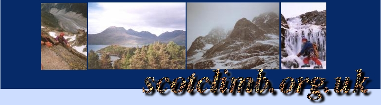
Liathach
The Area
Torridon is a fantastic are of Scotland. Liathach is managed by the National Trust for Scotland and is right next to the Beinn Eighe Nature Reserve as well as being only 6 miles from Kinlochewe/Loch Maree.The best map for this area is the Ordanance Survey Outdoor Leisure 8 1:25000m
Liathach itself is a linear ridge of mountains running alongside the road through the Glen. These mountains include Stuc a Choire Dhuibh Bhig, Spidean Choire Leith and Mullach an Rathain as well as Am Fasarinen which can be reached by a traverse of its pinnacles!
The way up
There is an almost infinite range of routes you could use to access the ridge, especially in winter when some grotty gullies or scree slopes can present the easiest - though not always safest - method of ascent. In summer there are a couple of good ways - long and short described here...
Munro Bagger?
For ther bagger there isn't really a "short" day but there is a quick way onto the ridge - Park at the NTS car park (956567) - it's annoying when passing places are full of parked cars!
The quickest path starts from the roadside at 936566 and heads straight up the hillside to the col at 938583 - to the west lies one of the finest ridge scrambles in Scotland (although most difficulties can be avoided of you are of a nevous disposition). Once you have traversed the ridge you should have arrived at the final Munro - Mullach an Rathain which has a trig point on the summit. There is a descent path from here to the roadside.
Adventurer?
For the more adventurous traveller there is a much longer and more enjoyable day to be had - start again from the NTS car park and follow the path behind Liathach keeping on the path until the lochan at (934594) - from here you can decide on the best ay to go - traverse across to Glas-toll Lochain and Meall Dearg or follow the path further for a more direct approach?
An alternative start is from the village of Torridon - folow the same path to Lochain a Chaorann at (907595) before heading up to Glas-toll Lochain .
From the lochan ascent Meall Dearg and the Northern Pinnacles to
the summit of Mullach an Rathain. Note: on this scramble some very
large rocks are loose (or at least very wobbly) so, as always, be
careful.
From the summit traverse the ridge eastwards to the end before
returning to the col at (938583) and descending the path to the
roadside.
Navigation
Don't go anywhere if you can't use a map/compass properly (except possibly on a navigation course!).
It's probably not possible to get properly lost in Torridon in summer because everything is so big, however there are a good few areas on this ridge that require careful navigation in any weather - it's a long way down at some points... every member of the party should have a map and compass and know how to use them properly. They should also have been using them all day!
In winter navigation is a much more serious proposition and so is this ridge - if you are not a competent winter walker don't attempt the bagger's path and if you are not a competent mountaineer capable of making sensible decisions regarding snow and safety as well climbing confidently in varying conditions (Grade II - III) steer clear!
Make sure you have up-to-date weather information and if it's winter learn about avalanches and read/understand A chance in a Million - there is no avalanche forcasting for this region so check out the weather for at least a week before you go and make your own assessements when you arrive.
Gear
- Summer
- Good boots
- Waterproofs & spare clothing
- Plenty of fluids and sufficient food
- Map, compass...
- Winter
- Everything you normally need for climbing in winter
- Snow shovel and bivy bag!
- At least one deadman. (1 each rec)